Metro Area Stations |
Southern Avenue Metrorail Station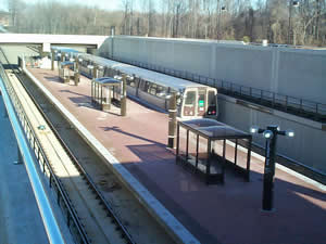
Station Area Vision At the doorstep to the Nation’s Capital on the Green Line, the plan envisions new office development within walking distance of the station. Appropriate zoning and guidelines are in place to ensure well designed development. Southern Avenue Metrorail Station
The land uses planned within one-half mile of the Metro station are office and multifamily. The Heights Master Plan and Sectional Map Amendment (2000) is the applicable master plan for this Metro station area. Sites in Public Ownership WMATA owns 19.3 acres including the station and parking. 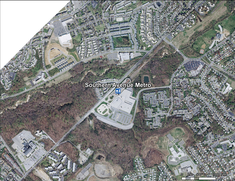 Quick Facts (WMATA Data 2010)
 Southern Avenue Station is the first stop in Prince George’s County and one stop from the major redevelopment site at St. Elizabeths Hospital in the District of Columbia. The station sits at the bottom of a steep slope in the Oxon Run valley, a stream protected by parkland. Undeveloped land on the heights south of the station may have development potential. The station itself has a large parking deck structure and bus facilities. Southern Avenue Station is the first stop in Prince George’s County and one stop from the major redevelopment site at St. Elizabeths Hospital in the District of Columbia. The station sits at the bottom of a steep slope in the Oxon Run valley, a stream protected by parkland. Undeveloped land on the heights south of the station may have development potential. The station itself has a large parking deck structure and bus facilities.  The Metro Green Line Transit-Oriented Development Corridor Action Plan
The Prince George’s County Planning Department of The Maryland–National Capital Park and Planning Commission (M-NCPPC or the Commission) is a recipient of a 2010 US Department of Housing and Urban Development (HUD) Challenge Planning Grant. The planning grant is to fund preparation of a comprehensive transit-oriented development action plan for the corridor that encompasses the last four Metro stations on the southern part of the Green Line in Prince George’s County, Maryland. The purpose of the planning project is to recommend policies, strategies, and an economic develoment program to stimulate growth at the four stations according to a well defined urban development plan. Read more about this plan. |

